 Urban / Government
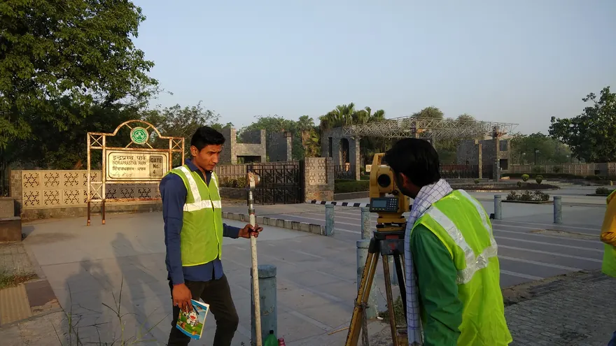
Delhi Zoological Park — Topographic & GPR Survey
Topographic PlanContoursSubsurface Feature MappingCAD Drawings
Client CPWD
CPWD
CPWD
Detailed ground survey for infrastructure, design, construction and development projects — the classical core of BTPL's practice since 2009.
A topographic survey records what exists: levels, features, structures, utilities, drainage and everything a designer must respect. BTPL has executed ground surveys across India since 2009 — total station and GNSS detail survey, levelling runs, boundary work and setting-out for construction.
In Delhi, BTPL has carried out topographic surveys of about 2,000 acres for DDA, a 350-acre survey of the Delhi Zoological Park for CPWD, and surveys of interstate bus terminals for DTIDC, working from its office in Mundka.
Ground survey remains irreplaceable where accuracy and completeness matter: under tree cover, around live infrastructure, on small critical parcels and wherever a drawing must capture every chamber, pole and plinth level.
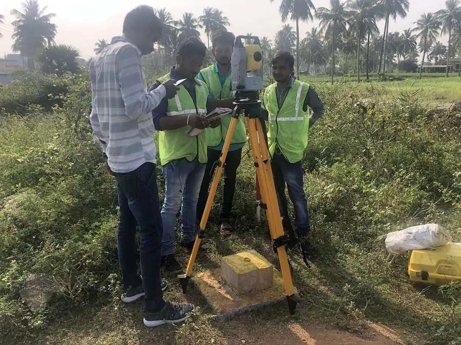
BTPL carries out topographic and engineering surveys by total station, digital level and GNSS RTK to record the levels, features, structures, utilities and drainage that a design must respect, including:
Traverse/GNSS control and double-run levelling connected to project or national benchmarks.
Total station observation of ground, features, utilities and structures at the specified survey density.
Longitudinal and cross-section levelling by digital level where vertical precision demands it.
Field data drafted to CAD with feature codes, layer standards and level annotations per project convention.
Independent checks on levels and dimensions; field edits resolved before submission.
Levelling runs close on benchmarks, traverses close within specified limits, and every drawing is checked against field records before issue. Survey density and feature coding follow the agreed specification so drawings integrate directly into design workflows.
Urban / Government
CPWD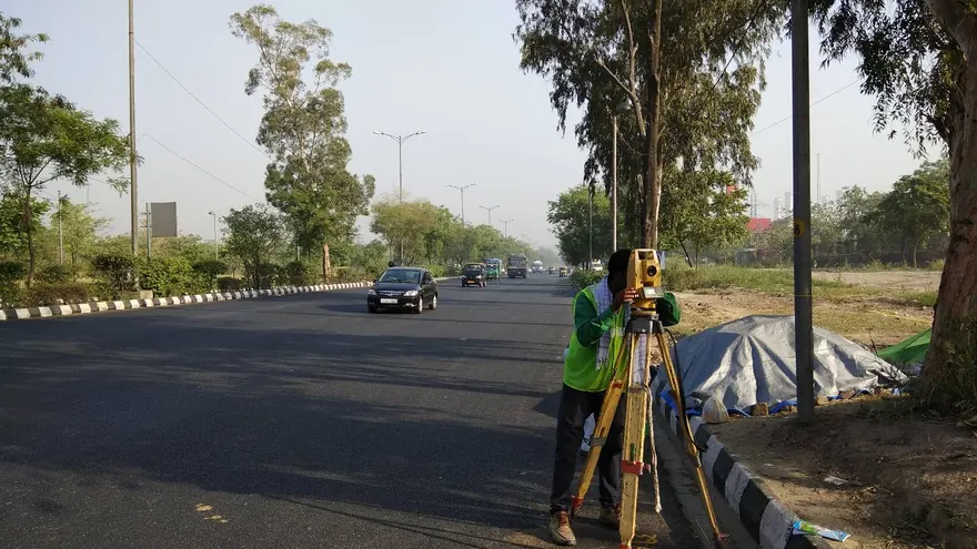 Railways & Metro
 Mega Engineers, Noida
Under dense canopy, around live traffic or restricted airspace, for small parcels, and wherever utility detail and precise levels on structures are the core requirement. Most large projects combine both.
As the project specifies — commonly 1:500 to 1:2000 plans with 0.25 m to 1 m contour intervals; the survey density is planned to honestly support the requested interval.
Yes. BTPL drafts to client layer/code conventions when provided, or applies a documented in-house standard otherwise.
Tell us the location, the approximate area or corridor length, and the deliverables you need — we will respond with the appropriate methodology and a clear proposal.