What is a corridor survey?
A corridor survey maps a continuous strip of ground along a linear route — a highway, railway, canal, pipeline or transmission line — on one consistent datum from end to end. Linear projects concentrate every surveying challenge: long distances, continuous accuracy, changing terrain and many stakeholders. BTPL executes corridor surveys end-to-end — control along the route, terrain capture by the method the corridor demands (UAV, LiDAR, ground survey or hybrid), and design-ready alignment deliverables.
BTPL surveys corridors across India from its office in Mundka, Delhi. In Delhi NCR they include the 30 km rail alignment from Sarai Kale Khan to the Sonipat border for NCRTC, through Mega Engineers, Noida.
From DPR-stage route data to construction setting-out, deliverables follow chainage discipline so every section, profile and quantity lines up with the design alignment.
Which projects need a corridor survey?
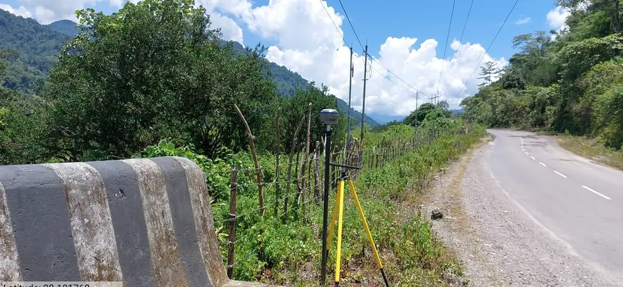
BTPL executes corridor surveys for linear infrastructure, carrying survey control consistently along the full length of a route and delivering chainage-referenced plans, profiles and sections for:
- Highway widening and greenfield alignment surveys
- Railway line and yard surveys
- Transmission-line routes, tower spotting support and clearance checks
- Canal and irrigation network surveys
- Pipeline route and crossing surveys
- Tunnel approach and alignment control

 Railways
 Matrix Geo Solutions Ltd.
 Balaji