Ground Truthing & GCP Networks

Independent ground verification for satellite imagery and digital mapping programmes

Overview

Satellite and aerial data products are only as reliable as the ground positions they are referenced against. BTPL establishes and measures that reference layer using DGPS observation, so that imagery, orthophotos and derived mapping can be validated against positions actually measured in the field rather than assumed from the source data.

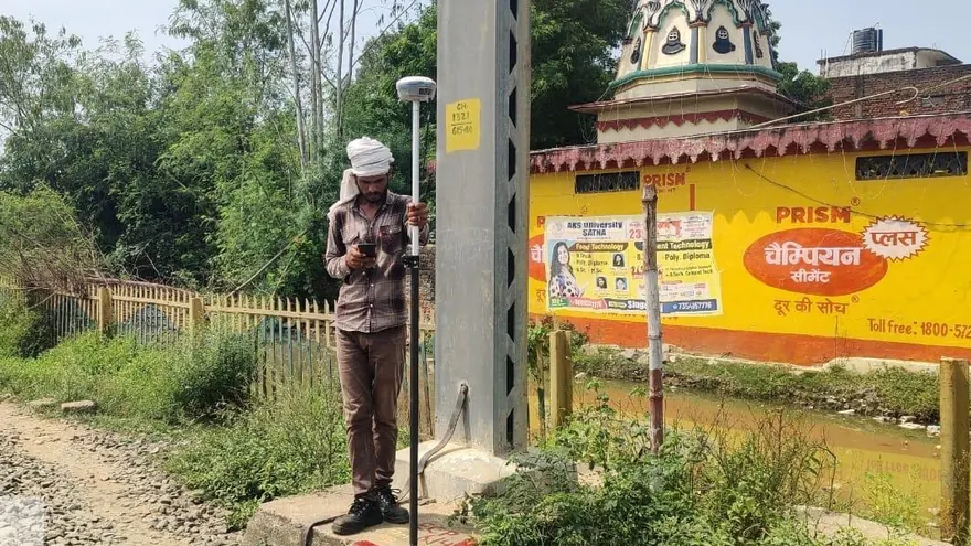
This work has been carried out at state scale. BTPL executed DGPS ground truthing across the entire Jammu & Kashmir region, including Ladakh, for the Flood Control Department J&K through Suhora Technologies, and has established a six-station DGPS ground control point network spanning multiple states for a client whose name is withheld under NDA. Both call for the same discipline: stable monumentation, a defensible datum, and observations that can be re-checked by anyone who follows.

Applications

  • Validation of satellite imagery and orthorectified products against measured ground positions
  • GCP networks for photogrammetric and satellite-based digital mapping programmes
  • Ground reference for flood mapping, watershed and river-corridor studies by state departments
  • Control frameworks for UAV and LiDAR acquisition, and for multi-phase mapping across state boundaries
  • Independent third-party verification of mapping supplied by other agencies
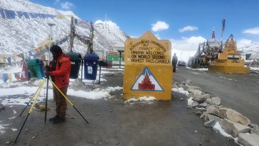
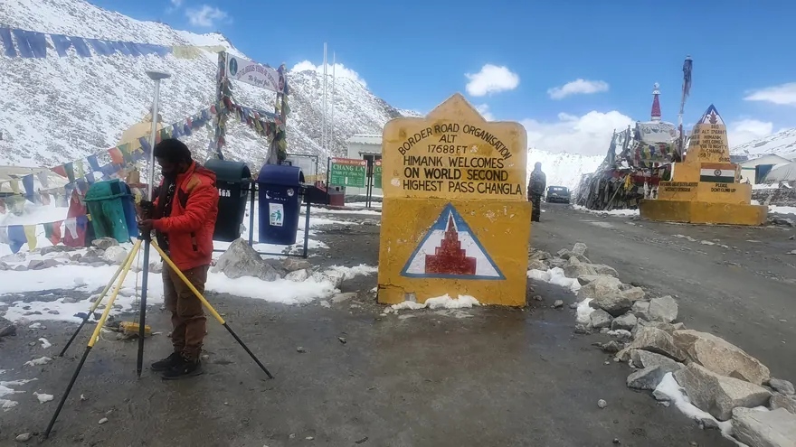
DGPS observation at Chang La pass, Ladakh — 17,688 ft, within the area covered by BTPL’s J&K and Ladakh ground-truthing assignment.
Deliverables
GCP register with coordinates, datum, projection and observation details for every stationPoint description sheets with site photographs and access notes for reoccupationComparison report setting out measured ground positions against the imagery or mapping product, point by pointDigital data in GIS and CAD formats, with raw observation and processing records retained for audit
Technology used
  • Dual-frequency DGPS/GNSS receivers operated in base-and-rover configuration
  • Baseline processing and network adjustment software with independent check-point verification
  • GIS and CAD environments for overlaying measured ground positions on imagery and mapping products
Methodology

How BTPL Performs the Work

1

Network design and reconnaissance

Point locations are planned for distribution across the mapping extent, sky visibility and long-term stability, then confirmed on the ground. Sites are selected for safe, repeatable access and monumented so that the same mark can be reoccupied in later phases.

2

DGPS observation on a defined datum

Points are observed by differential GNSS in base-and-rover configuration and connected to published reference control, so that all coordinates sit on a single declared datum and projection. Observation sessions, satellite geometry and antenna heights are recorded at the point of measurement.

3

Processing, checking and imagery comparison

Baselines are processed and adjusted, and results are verified against independent check points held back from the solution. Ground coordinates are then compared with the corresponding positions in the imagery or mapping product, and discrepancies are reported point by point rather than averaged away.

Accuracy & Quality Control

Every station is tied to published reference control on a stated datum and projection, and no coordinate is issued without that reference recorded alongside it. A proportion of points is held back from the adjustment and used as independent check points, so accuracy is demonstrated against measurements that did not shape the solution. Raw observation files, processing reports and adjustment output are retained and supplied on request, allowing the client or a third-party reviewer to reproduce the result. Where a comparison against imagery shows a departure, it is reported as observed rather than adjusted to fit.

Related Industries

Related BTPL Projects

All projects

FAQ

Common Questions

What does ground truthing actually confirm about satellite imagery?

It establishes whether positions in the imagery agree with positions measured on the ground on a defined datum. BTPL occupies identifiable points by DGPS, compares the measured coordinates with the same features in the imagery, and reports the differences point by point, giving the client an independent basis for accepting the product or referring it back to the supplier.

Can a GCP network established for one project be reused later?

Yes, provided the stations are monumented and documented for reoccupation, which is how BTPL establishes them. Each point is issued with a description sheet, site photographs and access notes, so the same network can serve subsequent mapping phases, UAV or LiDAR acquisition and later verification work without re-establishing control from scratch.

Planning a Ground Truthing & GCP Networks?

Tell us the location, the approximate area or corridor length, and the deliverables you need — we will respond with the appropriate methodology and a clear proposal.